ANU Capstone Project

Local
Hazards Network

Assessing the feasibility of multi-hazard monitoring in rural New South Wales using low-power LoRa sensor nodes and the MeshCore communication protocol. Building disaster resilience for at-risk communities.
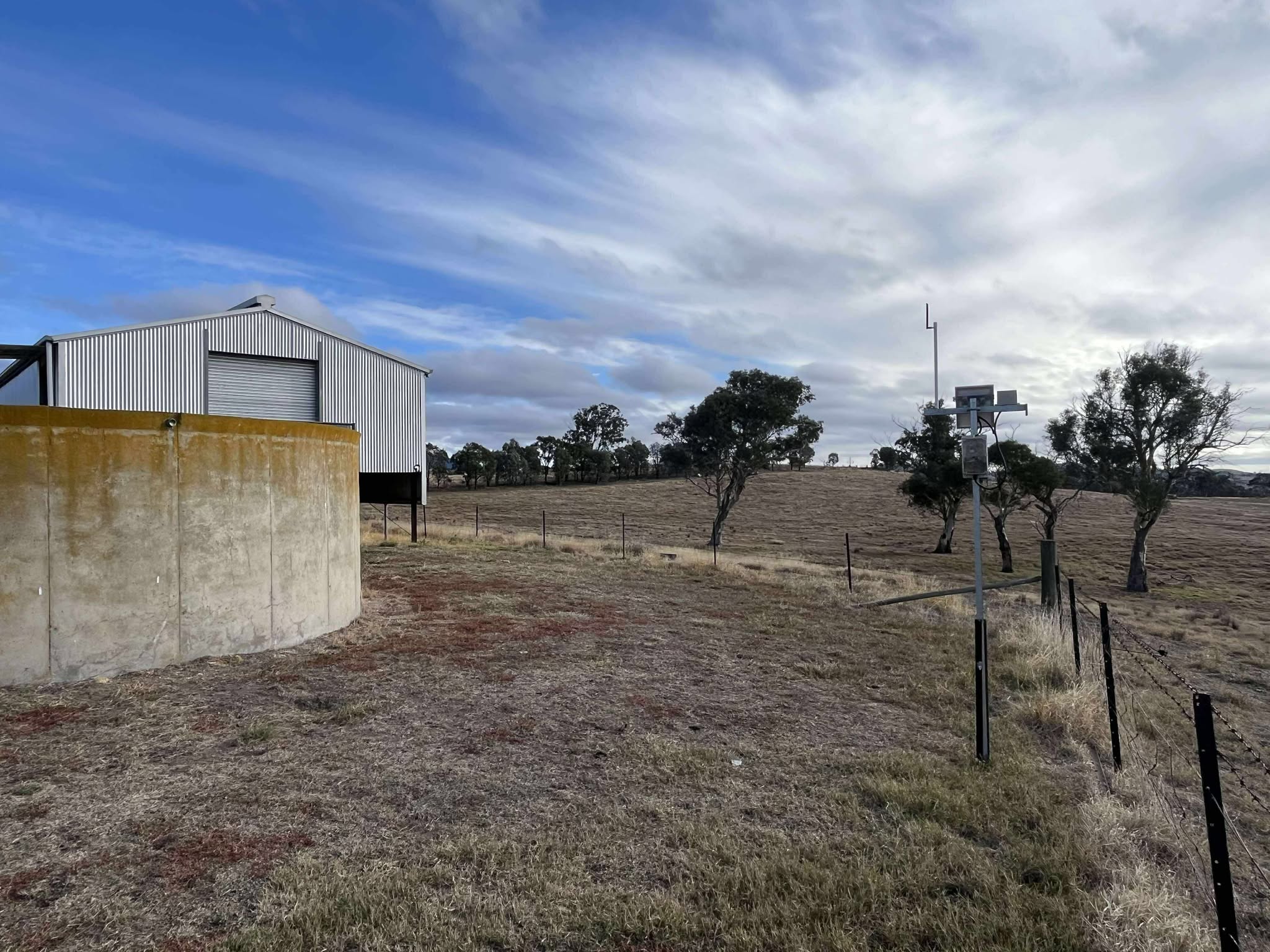
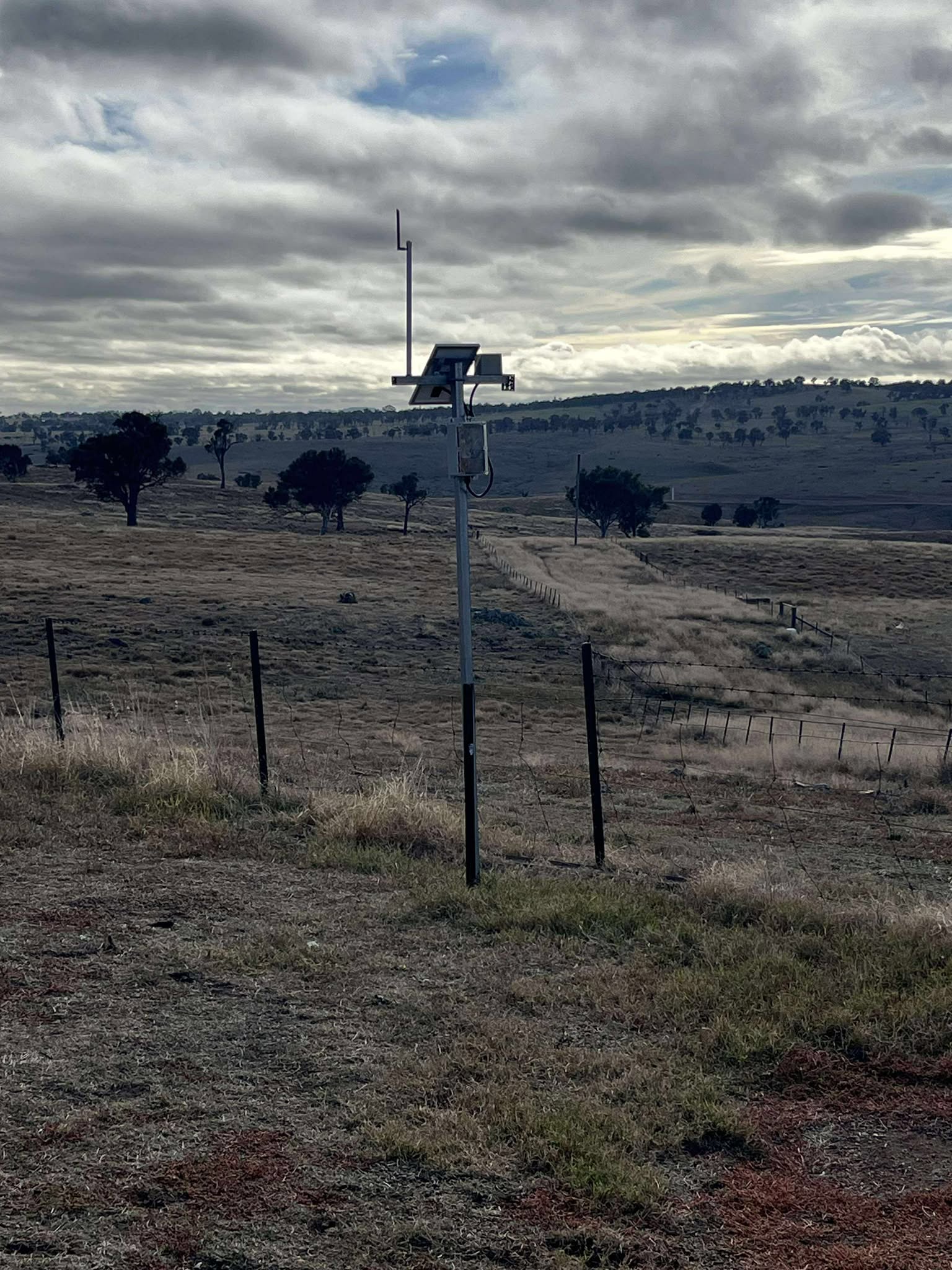
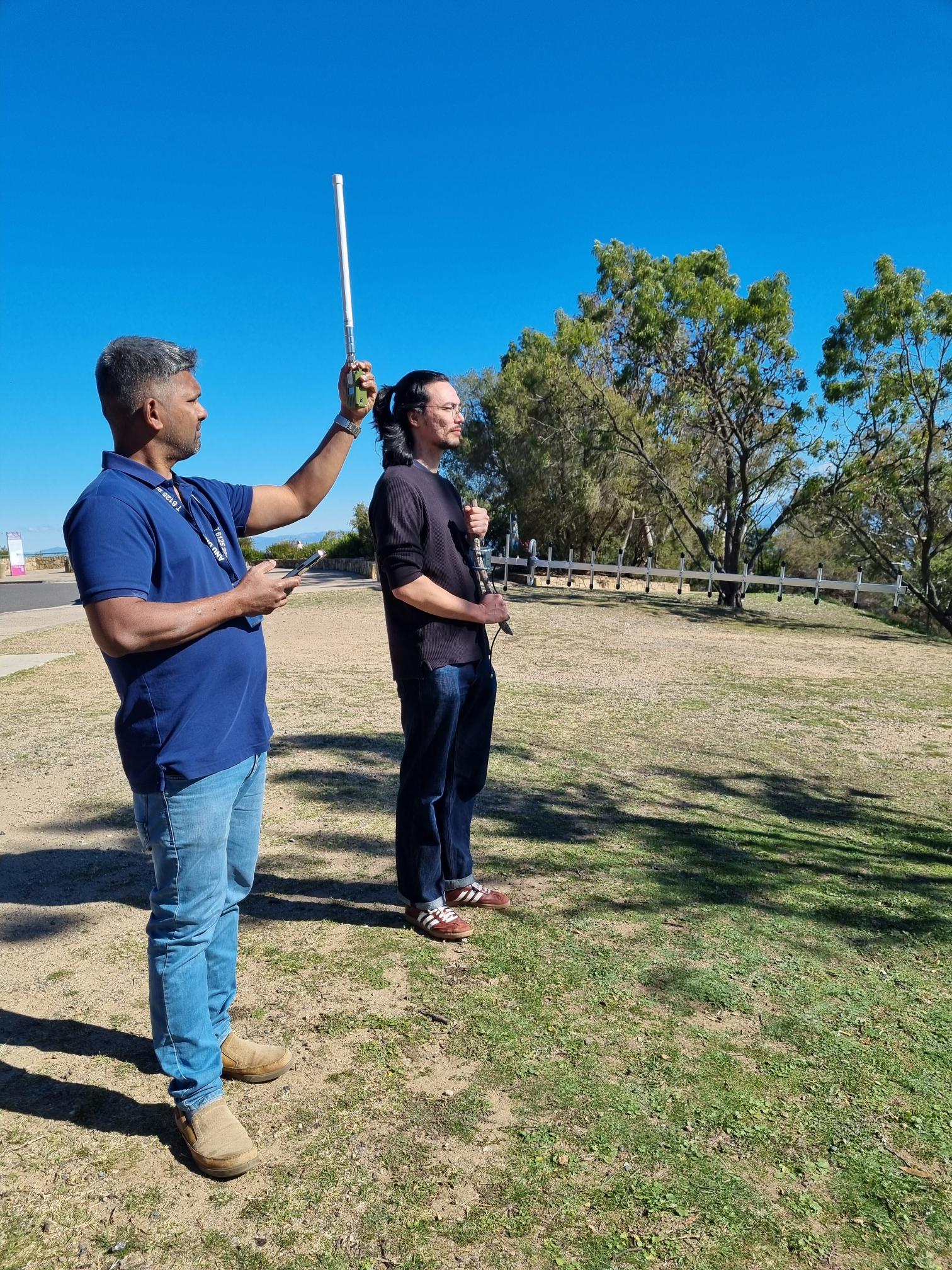
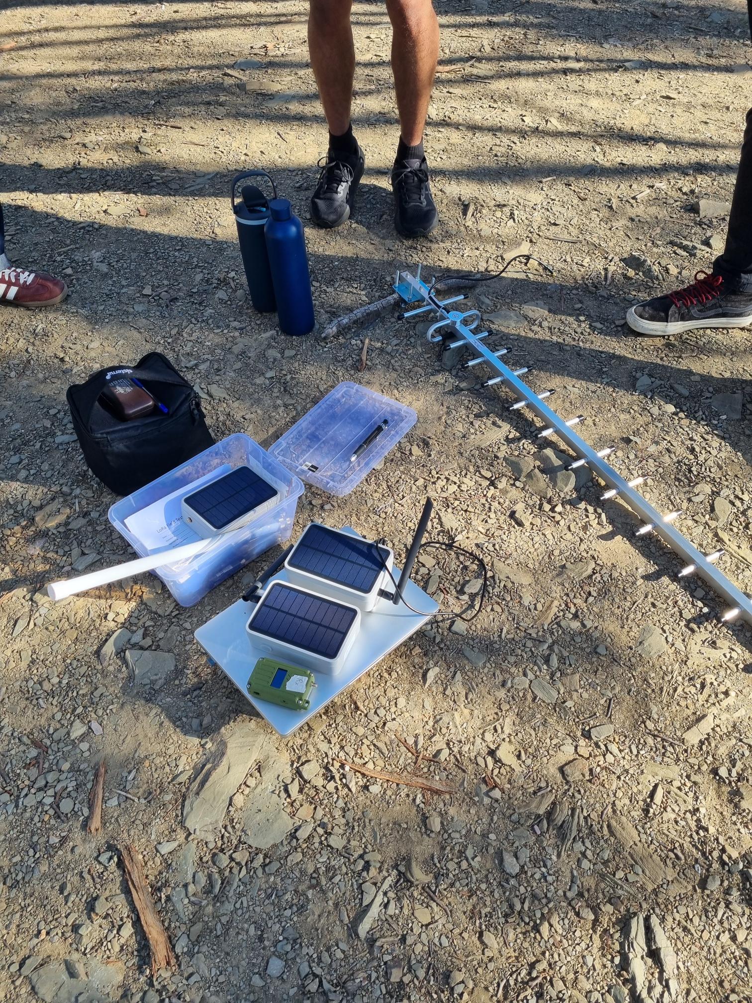
Existing LoRa monitoring station deployed at Spring Valley Farm, rural NSW
Existing LoRa node deployment โ€” rural NSW
4
Focus Regions
3
Workstreams
5+
Hazard Types
6
Team Members
2028
DRF Funded Until

Latest from the Team

11 May 2026 Sem 1 ยท Week 11

Workstream Progress Update

Research is well underway across all three workstreams. The Power and Enclosure Report has been completed with recommendations for solar panel sizing and battery capacity. The network and sensors workstreams are progressing well and are on track to be completed by the end of phase 1.

Disaster Resilience for Rural NSW Communities

Rural communities in NSW often lack localised environmental data and experience poor data coverage โ€” problems that are severely compounded during hazardous weather events. This limits the ability of emergency services and communities to access the information they need for disaster preparedness and response.

This project extends a previous community disaster resilience initiative (a flood monitoring system built on a Meshtastic network) by investigating alternative LoRa-based protocols such as MeshCore, and broadening monitoring to cover multiple hazard types including bushfires, landslides, severe storms, and drought. The final output is a prototype hazard detection sensor with the infrastructure to communicate telemetry back to the pre-existing LoRa network.

The project is part of the Disaster Ready Fund (DRF) initiative, funded by the National Emergency Management Agency (NEMA) and running until March 2028. All work produced is designed to be handed forward to future teams.

LoRa sensor node mounted on a fence post in a rural NSW paddock
Existing sensor node deployed in the field, rural NSW
๐Ÿ“ก

MeshCore Communication

Investigating MeshCore as a resilient LoRa-based backup communication network that operates reliably during extreme weather events.

๐ŸŒก๏ธ

Multi-Hazard Sensing

Feasibility study and prototype development for environmental sensors detecting flooding, bushfire, landslide, storm, and drought indicators.

โšก๏ธ

Low-Power Deployment

Solar-powered, COTS-based sensor nodes designed to be low-cost, scalable, and robust enough for remote rural conditions.

๐Ÿ‘ฅ

Community-Centred Design

Working alongside Resilient Uki and local landowners to ensure the system meets real community needs and constraints.

Three Concurrent Workstreams

The first half of the project runs three parallel workstreams, each tackling a distinct technical challenge. The second half integrates their outputs into a unified, deployable prototype.

Workstream 1

Communication Network

Investigation and small-scale testing of MeshCore as a backup communication network for emergency data transfer in rural areas. Builds upon the existing Meshtastic-based flood monitoring system while researching modern LoRa alternatives.

  • Small-scale MeshCore network testing
  • Comparative research: Meshtastic vs MeshCore
  • Communication range & reliability evaluation
  • Battery life and repeater node assessment
  • Network resilience during off-nominal conditions
Workstream 2

COTS Sensor Feasibility

Feasibility study and options assessment of consumer-off-the-shelf (COTS) components to be used in the multi-hazard monitoring stations. Focuses on selecting appropriate sensors for the range of hazards prevalent in rural NSW.

  • Research of environmental hazards (flooding, bushfire, landslide, storm, drought)
  • COTS sensor suitability assessment (rainfall, stream height, temperature, smoke, humidity, wind)
  • Component selection and options assessment report
  • Installation requirements for different site types
Workstream 3

Enclosure & Power

Development of the physical harness for securing the sensor design to various landscapes, alongside power supply and regulation design to ensure low power consumption and long-lasting battery life in the field.

  • Physical enclosure and mounting harness design
  • 3D-printed components for varied terrain deployment
  • Power supply and regulation circuit design
  • Solar charging and battery life optimisation
  • Environmental durability and weatherproofing

Project Scope Summary

Area In Scope Out of Scope
General Testing within ACT; range, sensor, reliability, battery testing; desktop studies; liaison via project host Testing outside ACT; regular site visits; integration with official emergency alert systems; permanent installation
WS1 โ€“ Network Small-scale MeshCore testing; LoRa platform research; range & reliability evaluation Developing new communication networks; large-scale NSW testing; integration with existing networks
WS2 โ€“ Sensors COTS sensor options assessment; hazard research (flood, bushfire, landslide, storm, drought); installation requirements Uncommon Australian hazards; deployment of permanent stations; development of new sensors
WS3 โ€“ Enclosure & Power Physical harness design; 3D-printed enclosures; power supply & regulation; solar charging; weatherproofing Large-scale manufacturing; permanent infrastructure installation; long-term maintenance

Field Testing โ€” In Action

Antenna testing during MeshCore network field evaluation
Hardware and equipment prepared for field deployment
View from Mt Ainslie toward the Hume field test site

Project Focus Areas

Four sub-basins in NSW have been identified as priority regions, selected from the previous Flood Safety Capstone project and the broader DRF-funded initiative. Each region faces unique challenges in data coverage and communications.

๐ŸŒณ

Terania

197.12
km²
-28.6309, 153.2845
๐ŸŒŠ

Main Arm

30.70
km²
-28.5242, 153.4470
๐Ÿ”๏ธ

Uki

293.79
km²
-28.4142, 153.3362
๐ŸŒ

Mandagery

2,004.20
km²
-33.3487, 148.4356

Natural Hazards Under Investigation

๐ŸŒง๏ธ

Flooding

Primary focus from previous project; stream height and rainfall monitoring.

๐Ÿ”ฅ

Bushfire

Smoke and temperature sensors to detect early signs of fire activity.

โ›ฐ๏ธ

Landslides

Soil moisture and rainfall indicators relevant to slope instability.

โ›ˆ๏ธ

Severe Storms

Wind speed and hail indicators for severe weather detection.

โ˜€๏ธ

Drought

Temperature, humidity, and rainfall deficit tracking over extended periods.

๐Ÿ”ญ

General Monitoring

Multi-parameter environmental sensing for comprehensive situational awareness.

Project Schedule & Milestones

The project runs across Semesters 1 and 2, 2026, structured around four audit milestones with a modified spiral systems engineering approach.

Completed Semester 1 — Week 4

Audit 1 โ€” Orientation

Established team communications, reviewed previous project repository and handover documentation, made contact with project host, and produced initial planning documents.

Concept of Operations v1.0 Project Management Plan v1.0 Presentation Landing Page
In Progress Semester 1 — Week 11

Audit 2 โ€” Investigation

Research into communication platforms (Meshtastic, MeshCore, and alternatives) and hazard detection feasibility. All devices for detection to be decided by this milestone.

Systems Engineering Governance Technical Artifacts Test & Evaluation Plan
Upcoming Semester 2 — Week 4

Audit 3 โ€” Integration

First prototypes of hazard detection device(s) complete and ready for field testing within the ACT region. Field testing plans established and underway.

System Prototype Field Testing Plan Updated T&E Plan
Upcoming Semester 2 — Week 11

Audit 4 โ€” Evaluation

All field testing complete, findings report drafted. Team reflections documented for future project onboarding and handover.

Findings Report Poster Video Pitch Handover Documentation

Meet the Team

A six-person multidisciplinary capstone team from the ANU School of Engineering.

GE

Grady Emerson

Electronics Engineer · Stakeholder Manager

Supports electronics-specialised team members as a generalist and serves as the primary point of contact for all external stakeholder communications.

JW

Justin Wilson

Website Designer · 3D CAD Modeller

Manages and updates the project website, and designs 3D-printed enclosures and mounting hardware for the sensor system.

KP

Kai Pietschner

Power System Designer · Repository Manager

Designs and approves the power system for sensor nodes, and maintains the project repository structure and organisation.

KD

Ken Doan

Firmware Developer

Develops the firmware for the sensor system, ensuring correct integration between sensing subsystems and the MeshCore communication backbone.

KG

Kyle Greenwood

Workstream Integration Lead

Monitors workstream interdependencies to prevent critical path delays and plans for the final integration of both workstreams into a complete system.

RF

Ruby Fusca

Environmental Engineer · Task Manager

Ensures environmental compliance and manages the team Trello board, keeping tasks prioritised and assigned from meeting outcomes.

Project Deliverables

The following deliverables will be produced and made available through this landing page and the project SharePoint repository.

๐Ÿ“„

Concept of Operations

Scope, objectives, stakeholder analysis, and system overview.

๐Ÿ’พ

Project Repository

All documents, code, and design files in SharePoint.

๐Ÿ“‹

Project Management Plan

WBS, schedule, budget, risk register, and communication plan.

๐Ÿ“Š

Feasibility Report

Options assessment for the multi-hazard monitoring system.

โš™๏ธ

System Prototype

Working prototype of the hazard detection sensor node(s).

๐Ÿ“–

Handover Documentation

Comprehensive documentation to onboard the next capstone team.

๐Ÿ–ผ๏ธ

Project Poster

Visual summary of findings for the capstone exhibition.

๐ŸŽฅ

Video Pitch

Short video presenting the project outcomes to stakeholders.